BIOGRPHY:
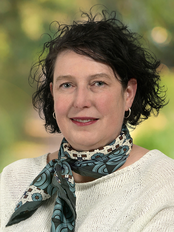
Assoc. Prof. Dr. Ute Weckmann is a geophysicist specializing in electromagnetic induction studies of the Earth’s subsurface. She earned her Ph.D. from the Freie Universität Berlin and subsequently received an Emmy-Noether Fellowship from the German Research Foundation, which facilitated her postdoctoral research at the Dublin Institute for Advanced Studies in Ireland. Ute Weckmann joined the GFZ German Research Centre for Geosciences in Potsdam, where she leads the research group “Magnetotellurics”. Her research primarily focuses on electromagnetic induction processes within the Earth, contributing to a deeper understanding of geological structures and processes, as well as resources on all scales from soil to lithosphere. She covers the entire chain from experiment, data processing, modelling, and inversion to interpretation. In September 2022, Dr. Weckmann assumed the chairmanship of Division VI “Electromagnetic Induction in the Earth and Planetary Bodies” of the International Association for Geomagnetism and Aeronomy (IAGA). Additionally, she serves on the editorial board of the Geophysical Journal International, reflecting her active engagement in the scientific community.
PRESENTATION Title and Abstract:
Imaging Crustal Fluid Pathways in the Eger Rift: Magnetotelluric Insights and Methodological Advances
The Eger (Ohře) Rift, located at the intersection of Variscan tectonic units in the western Czech Republic and Eastern Germany, is characterized by active tectono-magmatic phenomena including earthquake swarms, mantle-derived CO₂ degassing, mineral springs, mofettes, and Quaternary volcanism. Through several magnetotelluric (MT) and radio-MT (RMT) campaigns since 2015—within the framework of EMERES, ConeEM, and subsequent projects—modelling of electrical resistivity from lower crustal depths to the near surface has provided valuable insights.
Both methods are particularly well suited for imaging fluids and partial melts due to their sensitivity to electrical conductivity contrasts in the subsurface. While crystalline rocks are typically resistive, the presence of saline fluids, melts, or mineralized zones drastically enhances conductivity. This makes MT and RMT highly effective for mapping interconnected fluid networks, fluid reservoirs, and melt zones in tectonically and volcanically active regions like the Eger Rift—across both deep and shallow scales.
One of the key challenges in this region has been the extreme electromagnetic (EM) noise environment, primarily stemming from anthropogenic sources. Industrial infrastructure, power lines, and cultural noise severely contaminate MT and RMT data. Our work has therefore emphasized rigorous data pre-processing, robust remote reference techniques, and novel advanced statistical approaches.
An important focus of this research has been the multiscale imaging of fluid and gas pathways at different crustal levels. Using 2D and 3D resistivity modelling, deep conductive zones extending from the lower crust to near-surface mofette fields (e.g., Hartoušov) have been mapped, suggesting a direct link between tectono-magmatic activity at depth and degassing at the surface. The combination of deep MT and shallow RMT surveys has provided high-resolution images of aquifer structures and CO₂ conduits that facilitate integrated interpretations with seismological, geochemical, and hydrogeological data—underlining a multidisciplinary strategy that not only improves the robustness of our inversion models but also supports drilling activities in the ICDP EGER project. The successful integration of MT data into broader multidisciplinary studies on the interactions between earthquakes, fluids, rock, and biosphere demonstrates the method’s capability to image fluid transport within the Earth’s crust — even under challenging noise conditions—and contributes significantly to understanding the role of fluids in continental rifting and earthquake dynamics.
